
GeoCube

Geology insights, terrain information, climate data, and high-precision predictions.

GeoCube

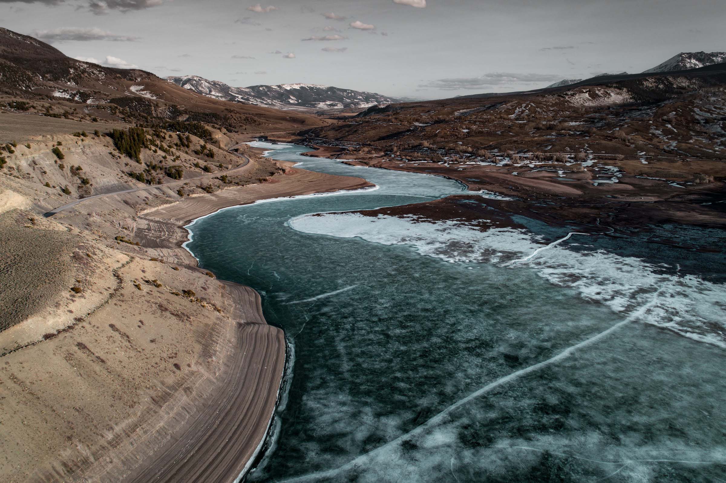
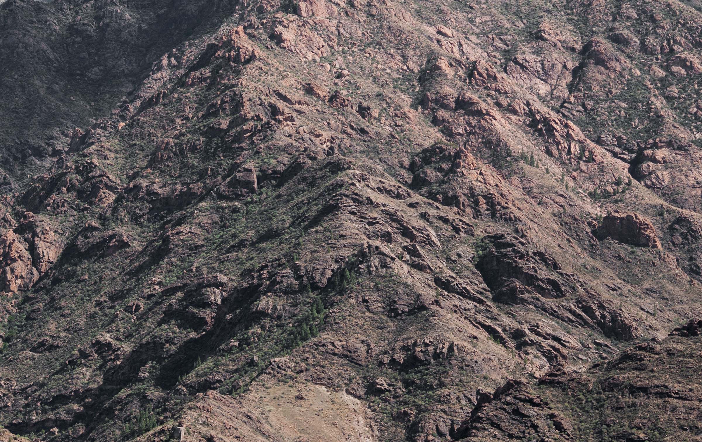
Landslides, falling rocks and avalanches may pose a threat to your building and infrastructure – and potentially to your users. Taking the existing risk information to a new level of detail and quality will enable you to manage these risks with the needed acuity.

High-precision predictions

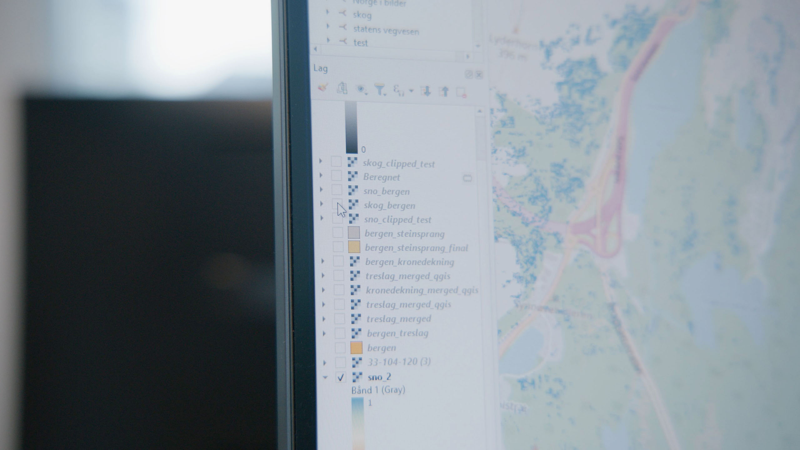
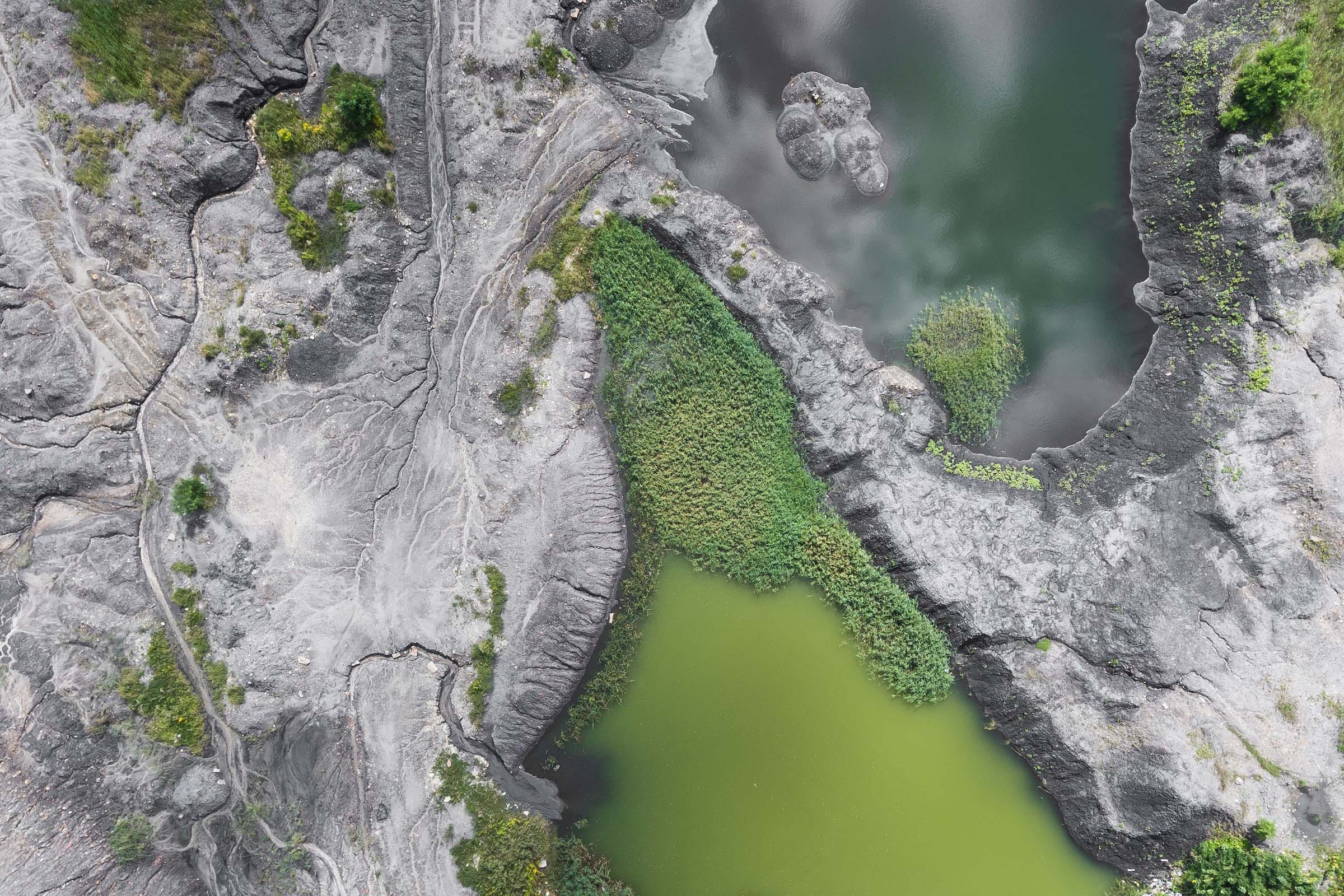
A unique combination geology insights, terrain information, climate data, and high-precision predictions in an unprecedented resolution powers our GeoCube.


The GeoCube has been developed together with the leading geo-environment in Norway at Multiconsult.

Get in touch

Are you interested in learning more about GeoCube? Please get in touch or request a demo.

Ida H. Haveraaen

Stormwater Engineer

ih@7analytics.no

Explore our platform

  • FloodCube Planning

    Sustainable planning of stormwater management

  • FloodCube Realtime

    A realtime flood warning solution

  • FloodCube Sensor

    Assess risk of flooding in real time

  • RiskCube

    Making existing risk information available at your fingertip

What some of our
customers are saying

  • Jostein Mæland, COO at StormGeo

    “This collaborative R&D effort will allow business decision makers to leap from rainfall forecasts, which require fuzzy risk interpretations, to actionable flood inundation forecasts that communicate how high the water will rise at their assets and operations based on cutting edge flood modeling.”

  • Herman Smith, CDO at Multiconsult

    “Storm water is one of the main concerns as we see megatrends such as urbanization and climate change affecting every neighborhood. Because of this, the requirements from the authorities are becoming increasingly stricter when it comes to flood planning. As we integrate sustainable decision tools in our growing toolbox, this will be a great enabler for high precision storm water planning. Climate adaptation is relevant in a wide range of project, and a high priority field within the Multiconsult group.”

  • Morten Fenne, TeamLead & Consulting engineer at Prosjektil AS

    “The focus on urban flooding is increasing and
    we see a great advantages in being able to do simulations
    early in a planning phase. When using the FloodCube, we quickly get much more accurate and a correct picture of the flood situation, both with the current situation and with the planned development. The simulations help us to quickly identify the problem areas and we can easily try out different measures.”

  • Hogne Hjelle, Manager at WA-department, Bergen Municipality

    “7Analytics has developed a tool that can make calculations for before and after development situations, and which shown in a map solution. This is a new tool that makes it easy for advisors to change input data and to try out different runoff situations. At the same time, this could be a well-suited tool for case handling, in that it is easy to get an overview of what input data has been used in calculations that form the basis for a surface water plan.”

  • Torstein Oen, Prosjektleder OBOS Nye Hjem

    “One of several arguments was the flood situation during conservation. Through 7A’s analysis tools and expertise, the effects of floods in the future were quickly illustrated. We also received good input on the regulations surrounding the planning of buildings in flood-prone areas. The argument against conservation became very clear.”